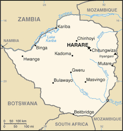
This is a country sized map of Zimbabwe.
Total Area: 390,757 sq km
Land Area: 386,847 sq km
Water Area: 3,910 sq km
Size Comparative to U.S. Territory: a bit larger than Montana
Total Distance of All Land Boundaries: 3,066 km
Total Distance of Coastline: 0 km (landlocked)
Climate: moderated by altitude; rainy season from November to March; tropical
Terrain: mountainous towards the east; high plateau with higher central plateau
Point of Highest Elevation: Inyangani 2,592 m
Point of Lowest Elevation: junction of the Runde and
Save Rivers 162 m
